Course Maps & Descriptions
scroll to: course maps / turn-by-turn descriptions / course tour videos
Course Change!
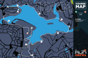
Unfortunately, due to urgent track works on the southern side of the Te Ara Tahuna walkway, a section of track between the 3km and 4km marks will be closed to us for race day. The course will instead follow the published deviation route which means running up (yes, there is a hill) Moffat Rd and then down Pohutukawa Ave before re-joining the original route. This deviation will add around 450 metres to the course distance which we will account for by shortening the out-and-back section on Arran Point Parade. Overall course distance will not be affected! This change impacts the 10k and 15k courses only. You can find temporary course maps here for the 10k and 15k.
Course Maps
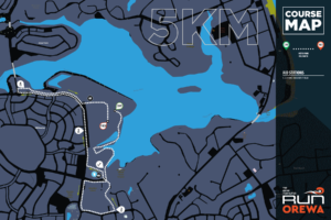
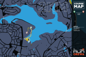
Click on a course map below to see the full size map in a pop-up window ... or follow the links below each map for different viewers.


